
Missionaries in Wetlands:
Some Reflections
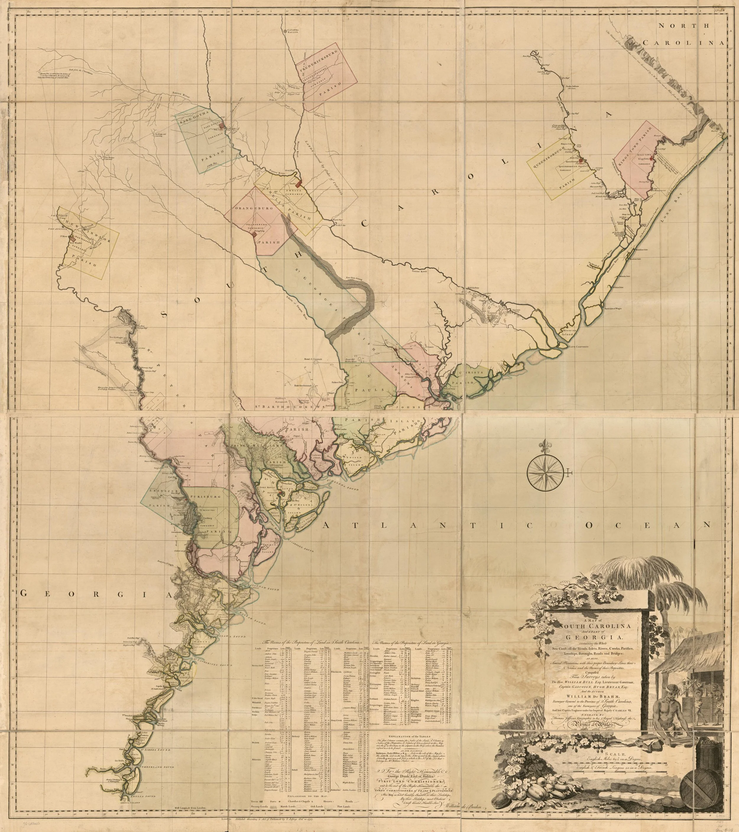
William Gerard De Brahm, “A map of South Carolina and a part of Georgia. Containing the whole sea-coast; all the islands, inlets, rivers, creeks, parishes, townships, boroughs, roads, and bridges; as also, several plantations, with their proper boundary-lines, their names, and the names of their proprietors.” (1757)
Credit: Library of Congress, Geography and Map Division
Noah Petts
28.09.26
Noah Petts is Research Associate at BSSI and a DPhil candidate in History at the University of Oxford